
Bus fares are changing in August, but not all in the same direction – and there will be further ups and downs to come in the next few months.
Free Child Tickets in August
Both our local operators, Stagecoach and Lonsdale Buses, will be participating in the government’s “Great British Summer Savings” scheme that sees children aged 15 and under travelling completely free on local buses for the whole month of August.
Once you have delved deeply enough into the website to find the announcement, here is what Stagecoach says about it: “Free travel is available on most local bus journeys in England between 1 and 31 August 2026 for children aged 5–15 inclusive. However, some services are not included in the scheme, including certain longer-distance coach services, routes where older and disabled persons’ concessionary travel is not available, and dedicated school bus services.” The Bus Users’ Group understands that the only service likely to be included in the list of exceptions, where free child travel will not apply, is service X8, the Saturday-only limited stop service that calls at Lancaster Bus Station en-route from Chorley to Keswick.
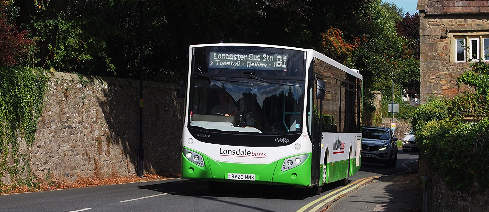
Lonsdale Buses does not mention the scheme on its website at the time of writing, but it has confirmed to us that it will be part of the scheme.
There is nothing to say that children have to be accompanied by a fare-paying adult, nor do they need a pass or special ticket to take advantgage of the offer. Older children, however, might want to carry some sort of proof of age, especially if they look older than they are.
Stagecoach Fares up on 5th August
Four days after children become eligible for free travel, the cost for some adult passengers is going up as Stagecoach revises fares.
With effect from Wednesday 5th August, some Stagecoach bus fares are changing across “Cumbria” & Lancashire. Most passengers will not see a change to the fare which they pay, with the maximum price of a single ticket remaining at £3 and some other tickets, such as 28 day and Xtra products, remaining frozen in price.
Full details are on this link: but basically, some fares under £3 will rise by 10p; A Bay Area Day Rider will increase by 20p to £6.20, a Lancashire Day Rider goes up by £1 to £11 and a North West Explorer rises by 50p to £12.50 with a seven day Mega Rider going up from £22 to £23. The maximum price of a single journey will remain capped at £3.
All Fares Reduced from January
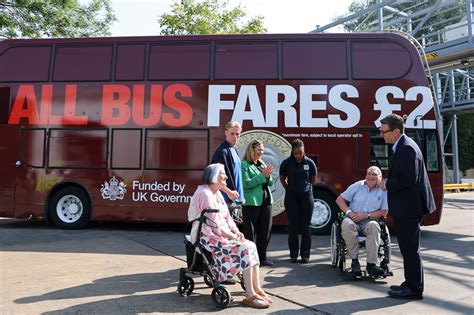
Assuming that our local operators agree to participate in the recently-announced £2 Fare Cap Scheme, these increases, at least to single fares, will be short-lived. Any fare under £3 that is increased by 10p from 5th August, will automatically reduce to £2 from January! Existing £3 single fares will also be reduced to £2 for the whole of 2027.
Stagecoach may also not get the hoped-for benefit from the increased price of Day Tickets. At £6.20 the Day Rider will be bought by anyone making more than two “capped” journeys at £3 each, but with the cap at £2 it will need more than three such journeys before a Day Rider becoames the best option. A North-West Explorer at £12.50 will only become a viable option if seven or more journeys are made in one day, making it attractive only to the most dedicated of bus riders.
Lonsdale Buses, assuming it joins the scheme, may want to think about the price of its £15 day ticket – requiring no fewer than 8 journeys in a day to break even against capped single fares.
Neither Up nor Down
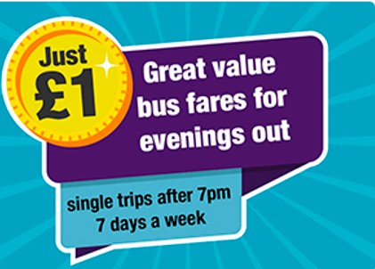
And where does all this leave Lancashire County Council’s £1 Evening & Sunday fare cap? These fares won’t be affected by the August increase, but are due to rise to £2 in September. However, in January ALL bus fares are to be capped at £2 (assuming operators participate), which will be government-funded and if the government is paying to cap all fares at £2, presumably Lancashire will not need to pay for them to be capped at all. This could and perhaps should mean that the £1 cap will be reinstated or, better still, not raised from September in the first place.
We will keep you posted.


