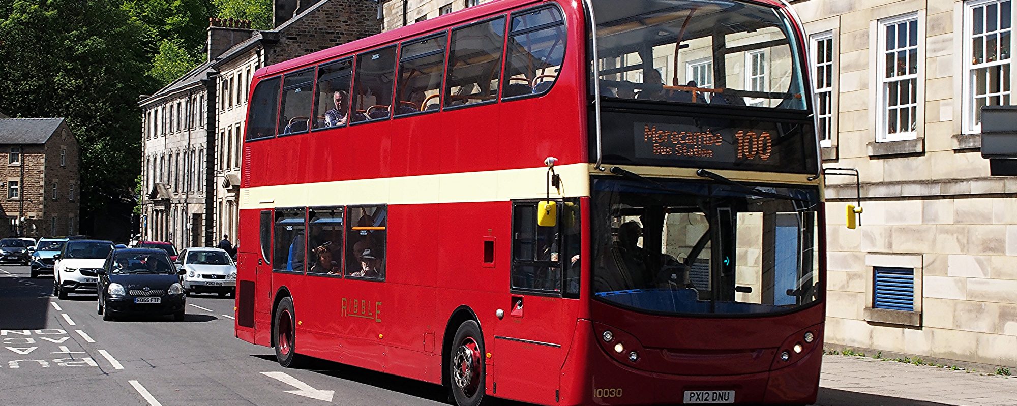
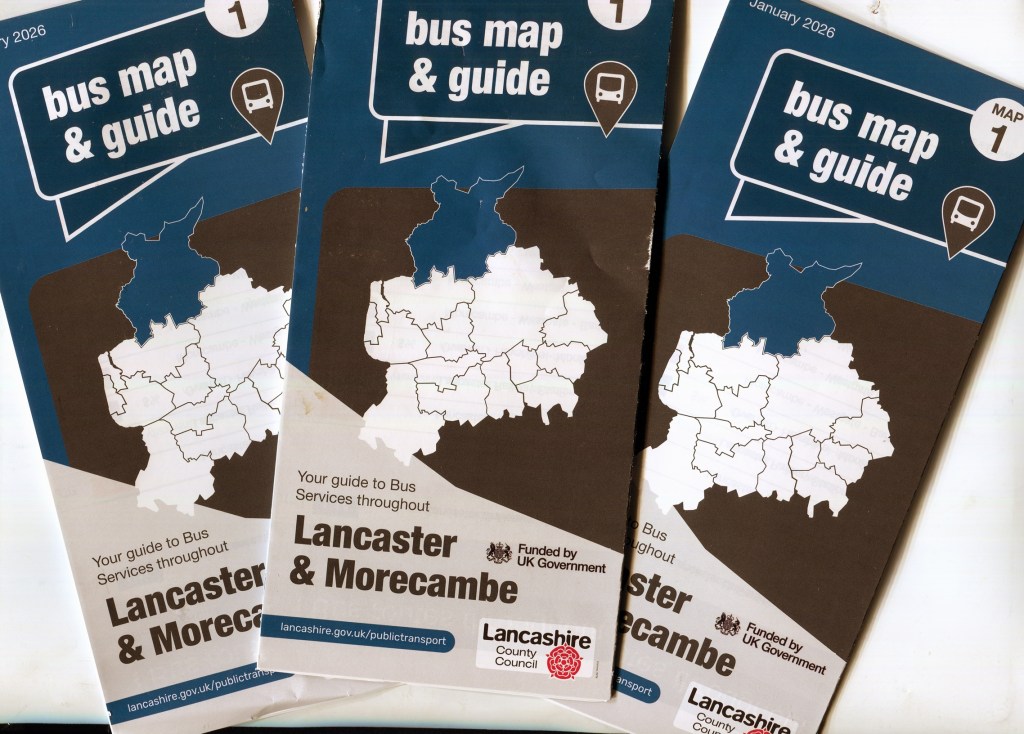
After a gap of many years, the county council has again published a map of bus services in Lancaster and Morecambe. Funded through the Bus Service Improvement Plan (now known as Local Authority Bus Grant), the map is one of a series that will eventually cover the whole of the council’s administrative area.
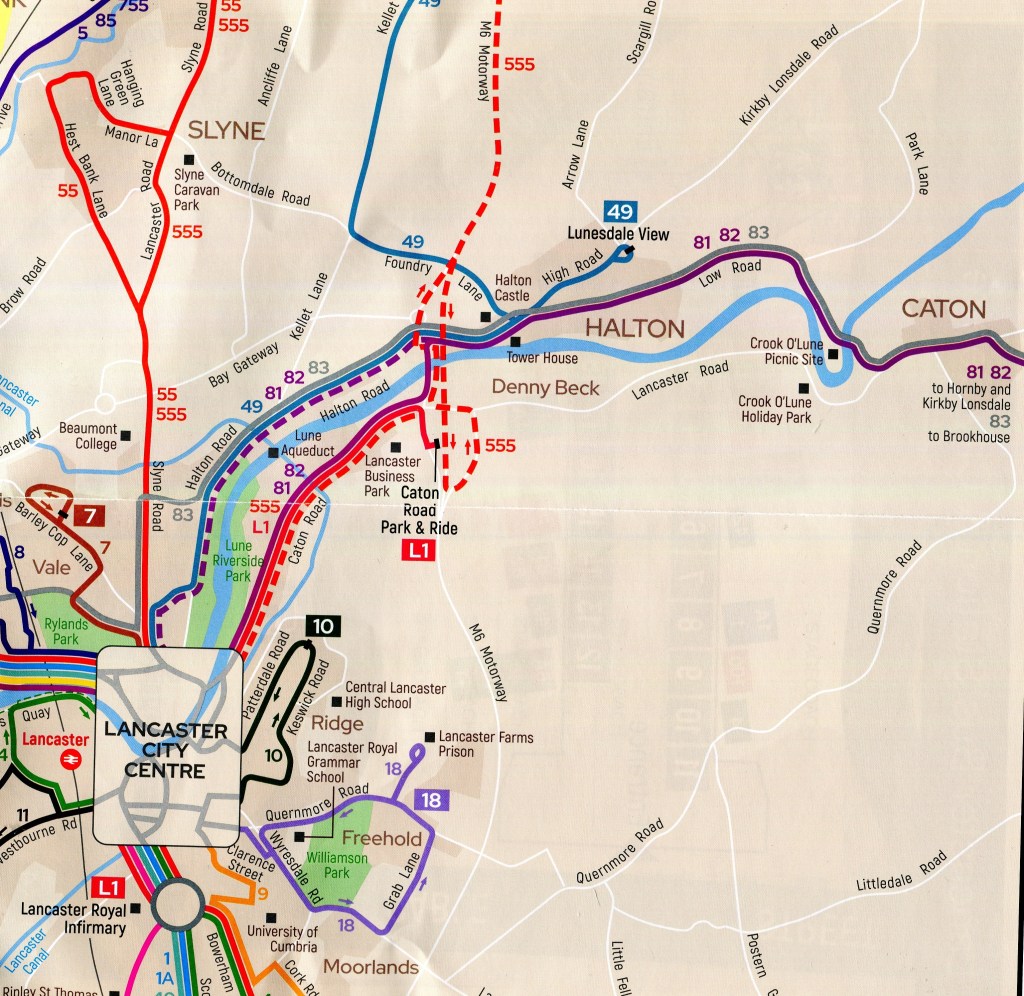
The map shows all bus services in the area, irrespective of operator, in a common style and has been produced with input from the Bus Users’ Group. As well as a network map there are local area plans for Lancaster, Morecambe and Carnforth town centres as well as Lancaster University.
Such maps were once common throughout the country, usually produced by county councils or unitary authorities, but most, including Lancashire’s previous series, fell victim to austerity cut backs and continuing underfunding of local authorities. Even now, with the additional Local Authority Bus Grant funding available most councils have yet to re-start map production.
Copies of the map will be available free of charge at all libraries in the District and, hopefully, at Lancaster bus station, where an enlarged version is already on display in the Bus Users’ Group’s display case at the Cable Street entrance. We will also have some available at our meeting on March 19th in Lancaster library.
Unusually, the county council has not made the map available online, although a copy can be viewed on our website via this link:
